The National Weather Service confirmed an EF-1 tornado hit southern Tennessee. Its path crossed from Moore County into Franklin County.
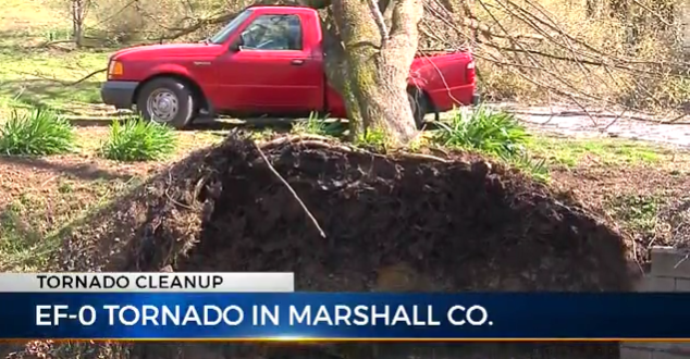
The second tornado was classified as EF-0, with winds of 80 mph. It touched down half a mile south of Belfast and then moved east until lifting at the Marshall/Bedford county line.
Survey teams also checked out the damage across Bedford County, where the wind was blowing between 90 and 95 mph. The storm left significant damage to the Shelbyville airport.
PHOTOS: Storm damage across Middle Tennessee
Lewisburg experienced similar wind speeds, which left damage in their area. As for Williamson and DeKalb counties, their damage was caused by straight line winds, according to NWS Meteorologist-in-Charge Larry Vannozzi.
Thursday’s storm also lead to widespread power outages.
NES reported over 2,500 customers in the dark, and Duck River Electric Membership Corporation had more than 6,000 without power at one point.
After Thursday’s rain, a Freeze Warning was issued for overnight Friday into Saturday ahead of snow late Saturday night.
Courtesy of WKRN’s News 2
 ChapelHillTN.com Official Guide To Chapel Hill, TN | ChapelHillTN.com


